On a mid 19th Century map of the North bank of the Tyne River, just a few miles from the ancient town of Hexham, you might have traced the outlines of two large villages and one Hamlet: Longhaugh, Longhaughshiel, and B******.
B***** is now a thriving little town - with real shops, and a postoffice (for how long! )while Longhaugh, on the hill above it, has entirely disappeared,, from the map, from sight and from memory.
This Darwinian extinction is probably due to the arrival of the railway, which used to run along the river valley, bypassing Longhaugh and stopping in Bellingham. The railway went in the 1960s, the ironworks it suported even earlier, but that choice of station saved B*****, and destroyed Longhaugh.
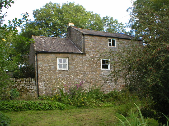
Between the two villages was a huggermugger hamlet, called Longhaughshiel, clinging to the steep slopes above the rail line, which was once home to 5 familes, and up to 50 people. The rubble of those homes is still to be seen, surrounding the only survivor - my own little three room cottage.
In that the story of that name the whole history of Northumberland can be traced...
(The next installments has Romans and Belgians in it - you have been warned)
Subscribe to:
Post Comments (Atom)


No comments:
Post a Comment